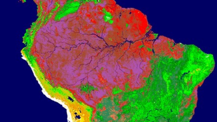
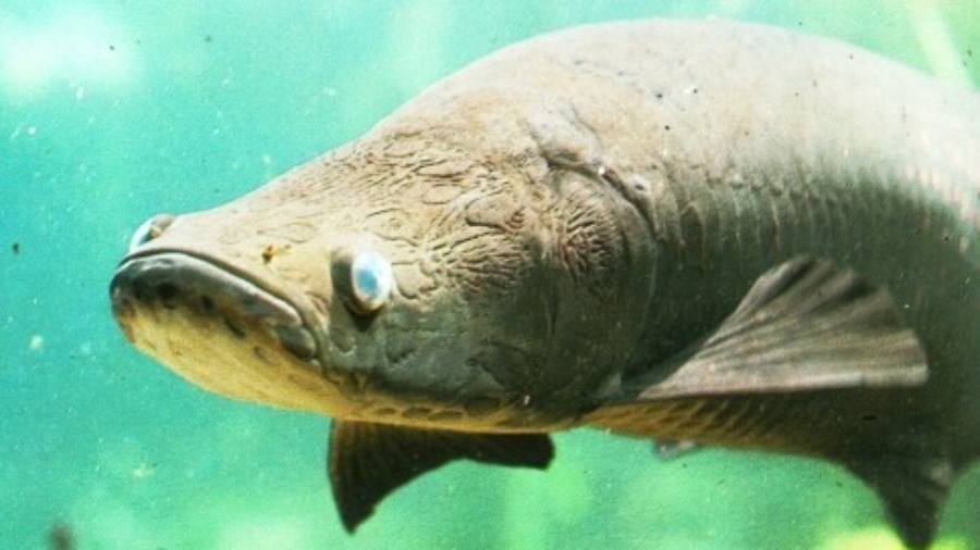
 NEW PROJECT: Management of commercially important fish populations requires understanding of fish population dynamics. As such, ongoing development of management efforts for Arapaima spp.—a widely overexploited fish species of the Amazon Basin—must be based on adequate scientific understanding of their biology and ecology. Previous studies have described the migration of arapaima in floodplain ecosystems of the Amazon. Many upland lakes, called ria lakes, which are surrounded by dry land, have populations of arapaima that are commercially exploited. In some cases, these lakes are connected to floodplain ecosystems, allowing for fish migration between these ecosystems. Many fishing communities inhabiting ria lakes of the Amazon are currently seeking to develop management systems for arapaima. However, lack of understanding of the migration of arapaima in ria lakes makes it difficult to devise effective management actions. The objective of the present study is to unravel the migratory behavior of arapaima in a ria lake of the Amazon.
The study will be conducted in the Piagaçu-Purus Sustainable Development Reserve, located in the lower Purus River, Amazon Basin, Brazil. The study will be based on the use of telemetry technology. It is funded by the Instituto Piagaçu, and it is done in close collaboration with Dr. Eduardo Martins of Carleton University and Dr. Jansen Zuanon of the Instituto Nacional de Pesquisa da Amazônia.
[googlemaps https://maps.google.com/maps/ms?msa=0&msid=212422201464487231331.0004f8d2594f67ee79ffc&hl=en&ie=UTF8&t=h&ll=-4.68593,-61.842041&spn=2.737143,3.290405&z=8&output=embed&w=600&h=500]