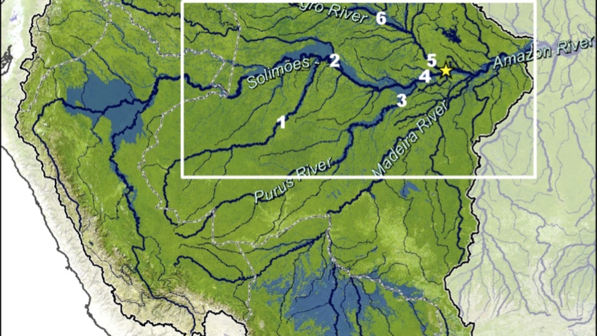
NEW PROJECT: About 20% of the Amazon basin is seasonally inundated, and these wetlands are sites of intense biological activity with highly productive macrophytes, forests, and fisheries. Floodplains and river channels—maintained by seasonal inundation—promote nutrient cycling and high biological production, and support diverse biological communities as well as human populations with one of the highest per capita rates of fish consumption. However, the hydrology of Amazon river-floodplains is increasingly being impacted by extreme climatic events and land use changes in the uplands. The extreme droughts of 2005 and 2010 and the extreme flood of 2009 provide an excellent opportunity to understand the feedbacks of such extreme events on seasonal inundation and, ultimately, on the future productivity of floodplain ecosystems and associated ecosystem services.

We have assembled an interdisciplinary team of qualified scientists from Virginia Polytechnic Institute and State University, the Woods Hole Research Center, and University of California Santa Barbara. The team has developed a varied research approach based on suitably sophisticated remote sensing, ground observation, statistical modeling, and numerical simulation methods. The project is funded by the National Aeronautics and Space Administration (NASA).
This proposal aims to:
(1) Explore the consequences of droughts and floods for the integrity of river-floodplain ecosystems.
(2) Quantify the relationship between inter-annual inundation variability and the productivity of fisheries and floodplain vegetation.
(3) Model the effect of extreme climatic events on inundation dynamics under historic and alternative future scenarios.

